
People and the Land > Landscape Change > Need for Conservation > Major Initiatives > The District Today > References
People and the Land
The land now known as Middlesex County has been stewarded by humans for thousands of years. Long before the establishment of towns and municipalities, Indigenous peoples lived throughout the region and managed its forests, waterways, soils, and other natural resources.1
Following European settlement, land use in New England changed dramatically. Forests were cleared for agriculture, wetlands were altered, and growing communities placed increasing pressure on natural resources.2
Landscape Change in New England
The transformation of New England’s forests, farms, and waterways profoundly altered the region’s natural systems. These images illustrate that change over time.
The following images from the Harvard Forest Diorama Collection illustrate major changes in New England’s landscape over time.
Pre-European Settlement (c. 1700)
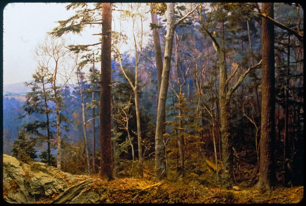
Photo credit: John Green, Harvard Forest Archives. Used under CC BY-ND license.
Early Settlement and Forest Clearing (c. 1740)
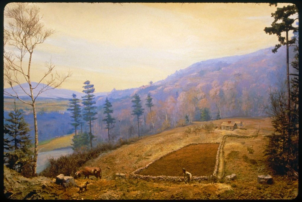
Photo credit: John Green, Harvard Forest Archives. Used under CC BY-ND license.
Agricultural Peak (c. 1830)
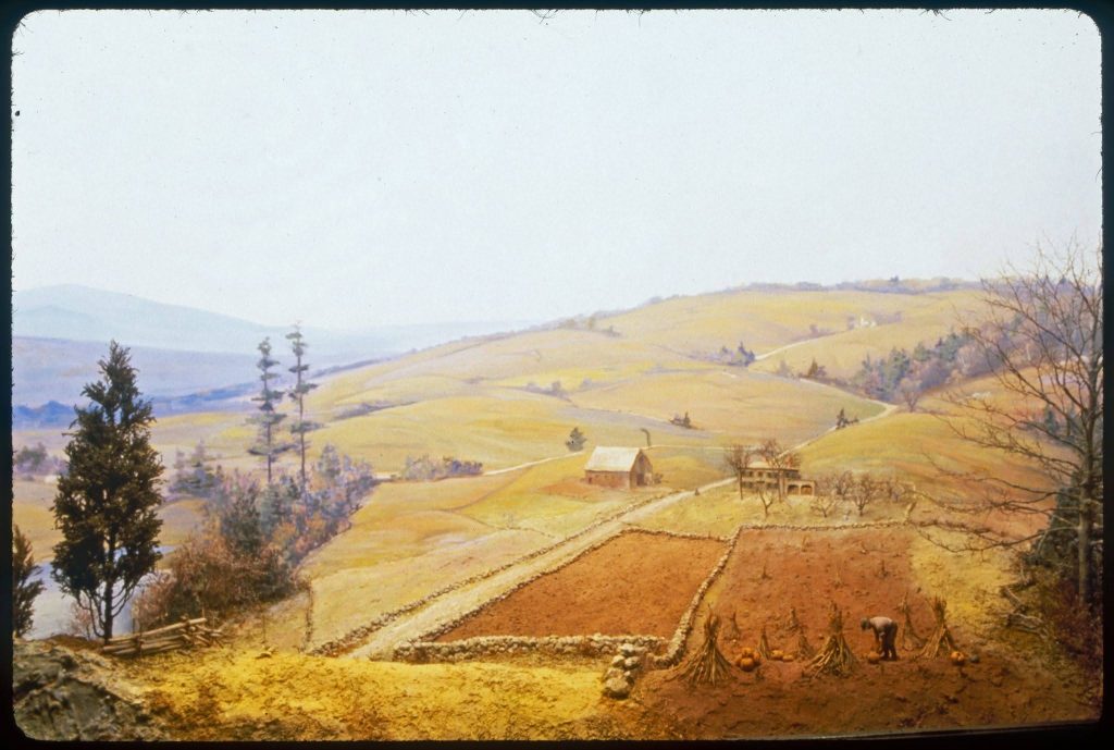
Photo credit: John Green, Harvard Forest Archives. Used under CC BY-ND license.
Farm Abandonment and Forest Recovery (c. 1850–1930)

Photo credit: John Green, Harvard Forest Archives. Used under CC BY-ND license.
The Need for Conservation
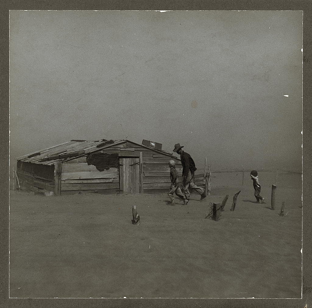
By the early twentieth century, the environmental impacts of widespread land clearing, intensive agriculture, flooding, and soil erosion had become increasingly apparent. Concerns about protecting soil, water, and other natural resources contributed to a growing conservation movement across the United States.
In response, Congress passed the Soil Conservation Act of 1935, creating the Soil Conservation Service (SCS), now known as the Natural Resources Conservation Service (NRCS).3 The legislation helped advance a national conservation movement and encouraged the development of locally governed conservation districts to address soil and water conservation needs at the community level.
The Middlesex Conservation District (MCD) was established in 1947 to address local conservation challenges and provide a connection between residents, landowners, municipalities, and conservation professionals. Since its founding, the District has worked to encourage practical, voluntary conservation measures that protect soil, water, and other natural resources. This mission continues to guide the organization today.
Major Initiatives
Several landmark projects helped the District address flooding, improve resource management, and strengthen conservation planning across Middlesex County.
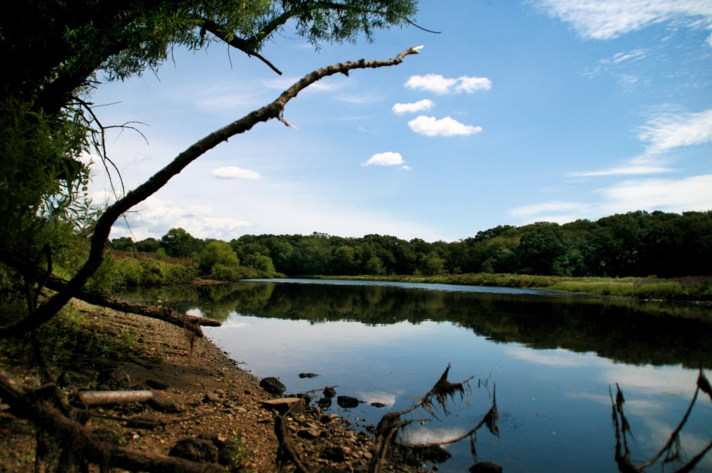
Covering 33 towns, three cities, and approximately 377 square miles, the Sudbury–Assabet–Concord (SuAsCo) Watershed Project addressed flooding and water-resource challenges that extended beyond municipal boundaries.4 Working with the NRCS and local partners, the Middlesex Conservation District helped support watershed planning, flood-control measures, and the protection of wetlands and floodplains throughout the region.5
The project reduced flood risks, strengthened cooperation among communities sharing the watershed, and helped establish a foundation for long-term watershed stewardship. Portions of the Sudbury, Assabet, and Concord Rivers were later designated as part of the National Wild and Scenic Rivers System in 1999.6
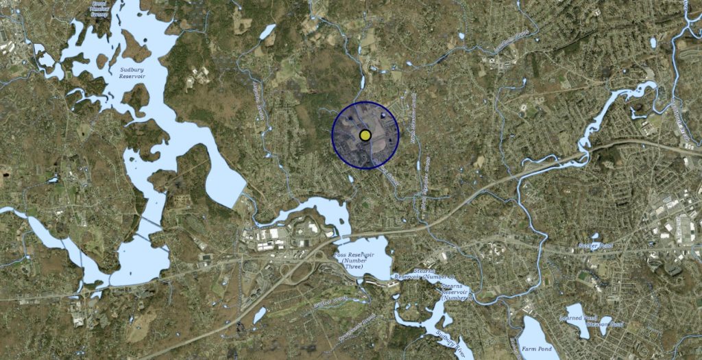
The Middlesex Conservation District served as a sponsoring local organization for the Baiting Brook Watershed Project, working with the Town of Framingham and the Soil Conservation Service to coordinate planning, funding, and implementation.
The watershed plan, finalized in 1981, included improvements to seven culverts, upgrades to more than 3,000 feet of stream channel, and construction of the Constance M. Fiske Dam. These improvements were designed to reduce recurring flooding affecting homes, businesses, roads, and other infrastructure within the watershed.
The project reduced estimated annual flood damages by approximately 97 percent, protecting more than 100 residences, nine commercial properties, and numerous roads and bridge crossings. Like many flood-control projects of the era, it also altered portions of the natural landscape. Mitigation measures included the creation of approximately 2.2 acres of wetland habitat.7
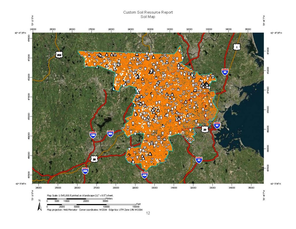
The Middlesex County Soil Survey was a countywide effort to document and map soil resources for agriculture, conservation, engineering, and land-use planning. Working with the USDA Soil Conservation Service, the Middlesex Conservation District helps support field investigations, data collection, and local coordination throughout the project.
Today, the survey continues to inform development, environmental review, watershed protection, agricultural planning, and conservation efforts throughout the county.8
The District Today
Today, Middlesex County is the most populous county in Massachusetts. With a population of 1,632,002 and 817.86 square miles of land area at the time of the 2020 Census, the county encompasses a diverse mix of urban, suburban, and rural landscapes. 9
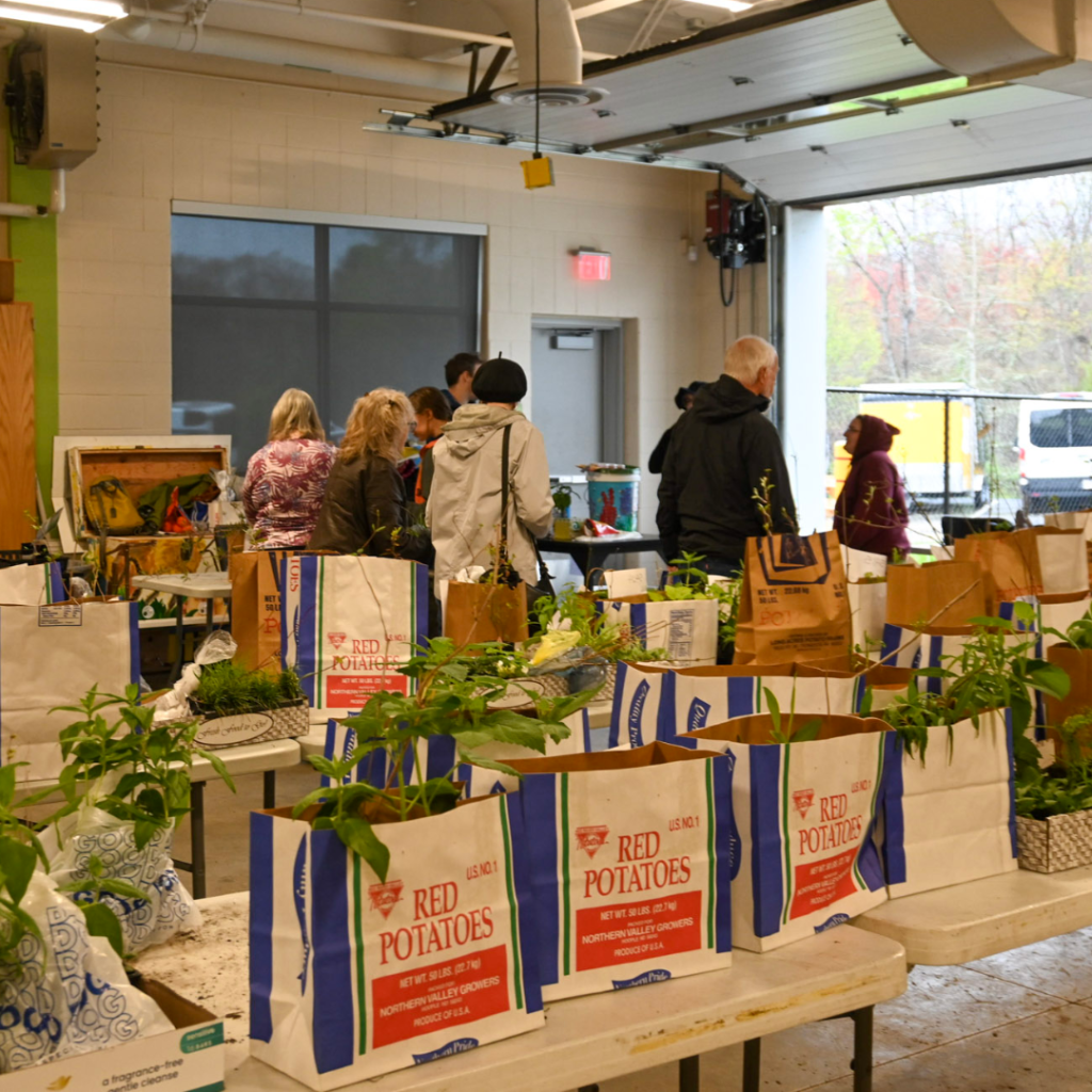
Plant sales have been a longstanding part of the District’s work. By 1983, the program was already well established and focused heavily on tree seedling sales, with volunteers repackaging large bulk orders for distribution throughout the county. Over time, the sale expanded to include a wider variety of trees, shrubs, and other plants that support conservation goals and habitat improvement.
In 2024, the District transitioned its plant sale program to focus exclusively on native species. Today, the District conducts spring and fall native plant sales that support pollinators, birds, and other wildlife while helping residents create more resilient landscapes.
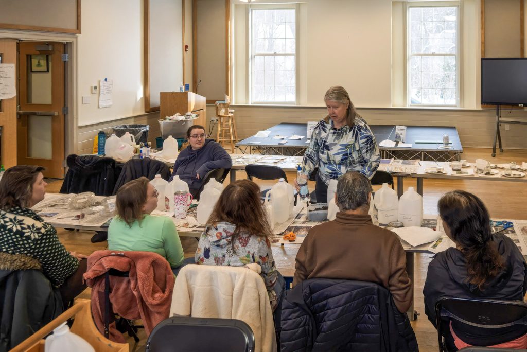
Current initiatives include native plant education, workshops and presentations, invasive species awareness efforts, and the Lawn to Meadow Program,10 which helps residents convert portions of lawn into pollinator-friendly habitat.
The District remains guided by the same principle that inspired its creation: helping communities and landowners voluntarily implement conservation practices that protect and enhance natural resources for future generations.
References
- Pennacook People. University of Massachusetts Lowell ↩︎
- Who We Are. Nipmuc Nation ↩︎
- Brief History of the Natural Resources Conservation Service. USDA NRCS ↩︎
- Flood Hazard and Soil Erosion. Internet Archive ↩︎
- Sudbury-Assabet-Concord Watershed Organization (SuAsCo) ↩︎
- National Wild and Scenic River System | Rivers.gov ↩︎
- Middlesex Conservation District Annual Report (2009). Google Books ↩︎
- Middlesex Conservation District Records (2009). Internet Archive ↩︎
- Middlesex County QuickFacts. U.S. Census Bureau ↩︎
- Pilot Projects. Middlesex Conservation District ↩︎